Cleared site of Langcraigs Care Home
Introduction
The photograph on this page of Cleared site of Langcraigs Care Home by Lairich Rig as part of the Geograph project.
The Geograph project started in 2005 with the aim of publishing, organising and preserving representative images for every square kilometre of Great Britain, Ireland and the Isle of Man.

There are currently over 7.5m images from over 14,400 individuals and you can help contribute to the project by visiting https://www.geograph.org.uk
Cleared site of Langcraigs Care Home
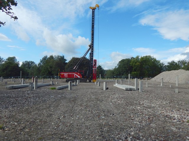
Image: © Lairich Rig Taken: 1 Sep 2019
A pile driver is on site. The view is from beside the main road (Townend Road); see Image for a view from the other side. The building that formerly stood here is shown in Image
Images are licensed for reuse under creativecommons.org/licenses/by-sa/2.0
Image Location
Latitude
55.952568
Longitude
-4.559142