Radford Semele houses [8]
Introduction
The photograph on this page of Radford Semele houses [8] by Michael Dibb as part of the Geograph project.
The Geograph project started in 2005 with the aim of publishing, organising and preserving representative images for every square kilometre of Great Britain, Ireland and the Isle of Man.

There are currently over 7.5m images from over 14,400 individuals and you can help contribute to the project by visiting https://www.geograph.org.uk
Radford Semele houses [8]
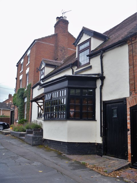
Image: © Michael Dibb Taken: 31 Jul 2019
The Old Bakery with this fine bay window in Lewis Road is next door to The Old Dairy Image Radford Semele is a village on the A425 road between Royal Leamington Spa and Southam. The village is named after a family from Saint-Pierre-de-Semilly in Normandy, lords of the manor circa 1120.
Images are licensed for reuse under creativecommons.org/licenses/by-sa/2.0
Image Location
Latitude
52.276848
Longitude
-1.494738