Cownhayne Lane
Introduction
The photograph on this page of Cownhayne Lane by Nigel Mykura as part of the Geograph project.
The Geograph project started in 2005 with the aim of publishing, organising and preserving representative images for every square kilometre of Great Britain, Ireland and the Isle of Man.

There are currently over 7.5m images from over 14,400 individuals and you can help contribute to the project by visiting https://www.geograph.org.uk
Cownhayne Lane
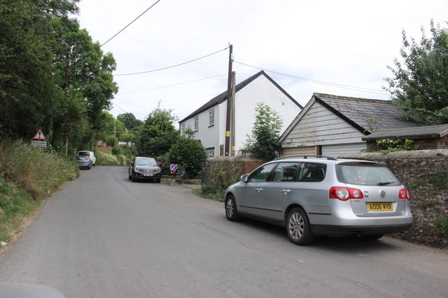
Image: © Nigel Mykura Taken: 13 Jul 2019
Cownhayne lane runs through the village of Kingsdonwhich is located on the eastern banks of the River Coly with Colyton on the opposite bank.
Images are licensed for reuse under creativecommons.org/licenses/by-sa/2.0
Image Location
Latitude
50.742019
Longitude
-3.062742