Exposed rafters, East Street, Barry
Introduction
The photograph on this page of Exposed rafters, East Street, Barry by Jaggery as part of the Geograph project.
The Geograph project started in 2005 with the aim of publishing, organising and preserving representative images for every square kilometre of Great Britain, Ireland and the Isle of Man.

There are currently over 7.5m images from over 14,400 individuals and you can help contribute to the project by visiting https://www.geograph.org.uk
Exposed rafters, East Street, Barry
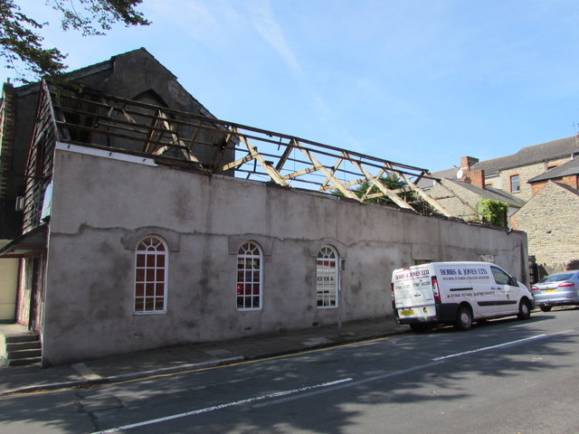
Image: © Jaggery Taken: 8 Sep 2019
Viewed in September 2019. The roof seen here https://www.geograph.org.uk/photo/5079955 in August 2016 has gone.
Images are licensed for reuse under creativecommons.org/licenses/by-sa/2.0
Image Location
Latitude
51.400506
Longitude
-3.281495