West along the B4265 south of St Athan
Introduction
The photograph on this page of West along the B4265 south of St Athan by Jaggery as part of the Geograph project.
The Geograph project started in 2005 with the aim of publishing, organising and preserving representative images for every square kilometre of Great Britain, Ireland and the Isle of Man.

There are currently over 7.5m images from over 14,400 individuals and you can help contribute to the project by visiting https://www.geograph.org.uk
West along the B4265 south of St Athan
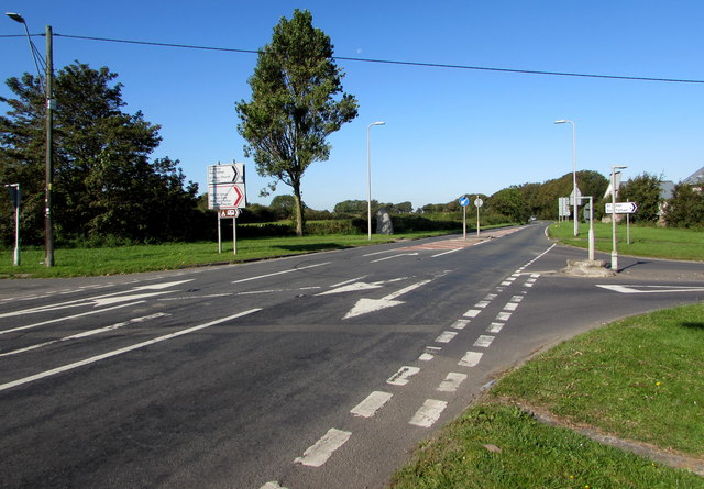
Image: © Jaggery Taken: 19 Sep 2019
Viewed past the Gileston Road crossroads. Turn left into Gileston Road for the small village of Gileston in the Vale of Glamorgan, or right into Gileston Road for St Athan. Ahead along the B4265 for Eglwys Brewis, Boverton and Llantwit Major.
Images are licensed for reuse under creativecommons.org/licenses/by-sa/2.0
Image Location
Latitude
51.398795
Longitude
-3.414562