Brandon Houses [8]
Introduction
The photograph on this page of Brandon Houses [8] by Michael Dibb as part of the Geograph project.
The Geograph project started in 2005 with the aim of publishing, organising and preserving representative images for every square kilometre of Great Britain, Ireland and the Isle of Man.

There are currently over 7.5m images from over 14,400 individuals and you can help contribute to the project by visiting https://www.geograph.org.uk
Brandon Houses [8]
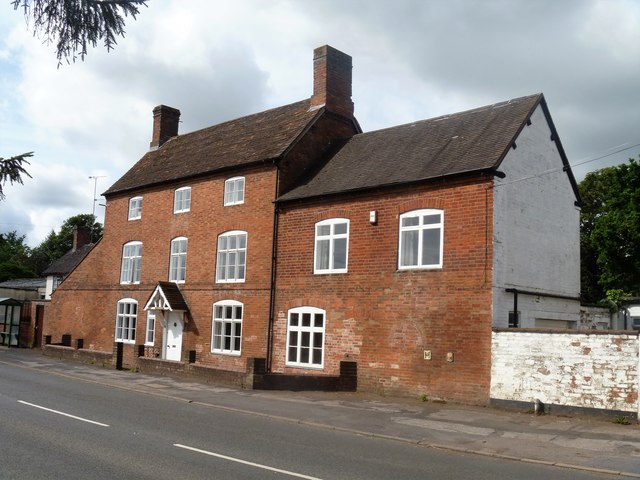
Image: © Michael Dibb Taken: 21 Jul 2019
Woodcroft is late 18th or early 19th century with later additions and alterations. Listed, grade II, with details at: https://historicengland.org.uk/listing/the-list/list-entry/1185458
Images are licensed for reuse under creativecommons.org/licenses/by-sa/2.0
Image Location


Leaflet Map data © OpenStreetMap
Latitude
52.385188
Longitude
-1.400057