Mock Tudor terrace
Introduction
The photograph on this page of Mock Tudor terrace by Bob Harvey as part of the Geograph project.
The Geograph project started in 2005 with the aim of publishing, organising and preserving representative images for every square kilometre of Great Britain, Ireland and the Isle of Man.

There are currently over 7.5m images from over 14,400 individuals and you can help contribute to the project by visiting https://www.geograph.org.uk
Mock Tudor terrace
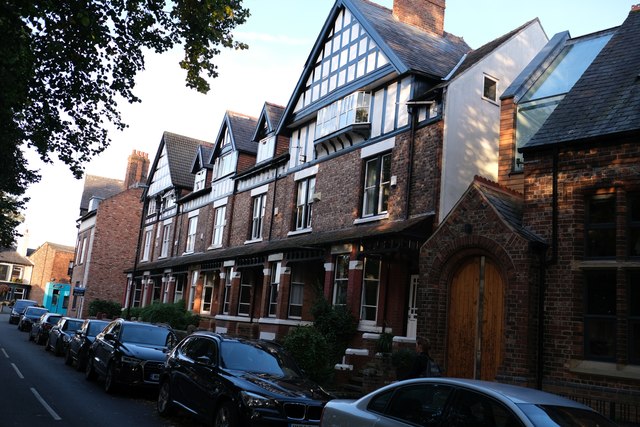
Image: © Bob Harvey Taken: 16 Sep 2019
We normally associate Mock Tudor with the Edwardian era, but this is 1890s Victorian. see also Image and Image
Images are licensed for reuse under creativecommons.org/licenses/by-sa/2.0
Image Location
Latitude
53.438302
Longitude
-2.282511