Chestnut Walk, Groby
Introduction
The photograph on this page of Chestnut Walk, Groby by Jim Barton as part of the Geograph project.
The Geograph project started in 2005 with the aim of publishing, organising and preserving representative images for every square kilometre of Great Britain, Ireland and the Isle of Man.

There are currently over 7.5m images from over 14,400 individuals and you can help contribute to the project by visiting https://www.geograph.org.uk
Chestnut Walk, Groby
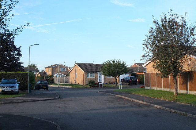
Image: © Jim Barton Taken: 14 Sep 2019
A residential area south of the original village to the west of Leicester.
Images are licensed for reuse under creativecommons.org/licenses/by-sa/2.0
Image Location
Latitude
52.656553
Longitude
-1.222347