Stainton Grove
Introduction
The photograph on this page of Stainton Grove by Eileen O'Hara as part of the Geograph project.
The Geograph project started in 2005 with the aim of publishing, organising and preserving representative images for every square kilometre of Great Britain, Ireland and the Isle of Man.

There are currently over 7.5m images from over 14,400 individuals and you can help contribute to the project by visiting https://www.geograph.org.uk
Stainton Grove
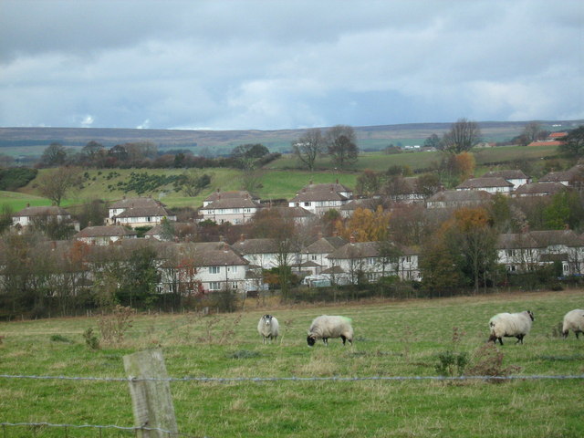
Image: © Eileen O'Hara Taken: 13 Nov 2007
This view from Town Pasture Lane, known locally as Gypsy Lane, shows The Oval which was built on the site of Blackbeck PoW Camp.
Images are licensed for reuse under creativecommons.org/licenses/by-sa/2.0
Image Location
Latitude
54.553689
Longitude
-1.894213