Path by Shutterton Brook (6) with flood depth indicator
Introduction
The photograph on this page of Path by Shutterton Brook (6) with flood depth indicator by David Smith as part of the Geograph project.
The Geograph project started in 2005 with the aim of publishing, organising and preserving representative images for every square kilometre of Great Britain, Ireland and the Isle of Man.

There are currently over 7.5m images from over 14,400 individuals and you can help contribute to the project by visiting https://www.geograph.org.uk
Path by Shutterton Brook (6) with flood depth indicator
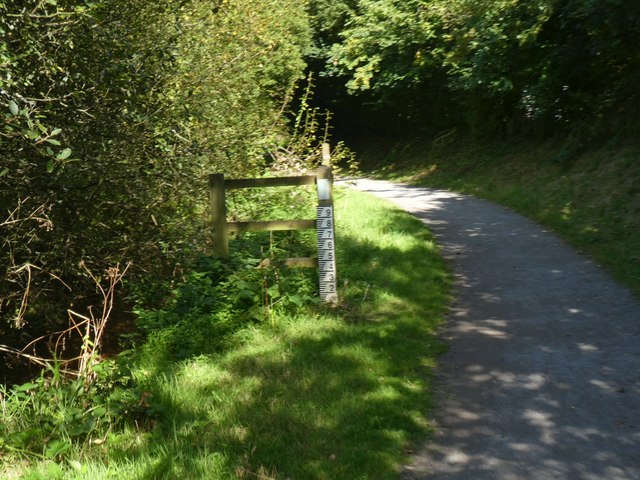
Image: © David Smith Taken: 15 Sep 2019
If the water is up to here, you would be foolish to continue
Images are licensed for reuse under creativecommons.org/licenses/by-sa/2.0
Image Location
Latitude
50.599176
Longitude
-3.456576