Looking up Beechgrove Lane
Introduction
The photograph on this page of Looking up Beechgrove Lane by Robert Graham as part of the Geograph project.
The Geograph project started in 2005 with the aim of publishing, organising and preserving representative images for every square kilometre of Great Britain, Ireland and the Isle of Man.

There are currently over 7.5m images from over 14,400 individuals and you can help contribute to the project by visiting https://www.geograph.org.uk
Looking up Beechgrove Lane
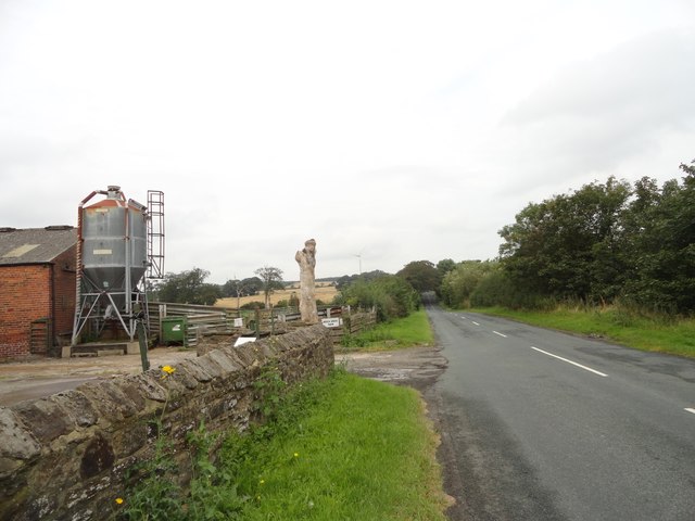
Image: © Robert Graham Taken: 9 Sep 2019
View north up the lane from beside Beech Grove Farm. The farm buildings are on the left. The farmhouse is an early Victorian country house and is behind the modern buildings, but is visible from higher up the lane, see Image
Images are licensed for reuse under creativecommons.org/licenses/by-sa/2.0
Image Location
Latitude
54.845815
Longitude
-1.643045