The Maidstone?Ashford line west of Harrietsham, Kent
Introduction
The photograph on this page of The Maidstone?Ashford line west of Harrietsham, Kent by Rodney Burton as part of the Geograph project.
The Geograph project started in 2005 with the aim of publishing, organising and preserving representative images for every square kilometre of Great Britain, Ireland and the Isle of Man.

There are currently over 7.5m images from over 14,400 individuals and you can help contribute to the project by visiting https://www.geograph.org.uk
The Maidstone?Ashford line west of Harrietsham, Kent
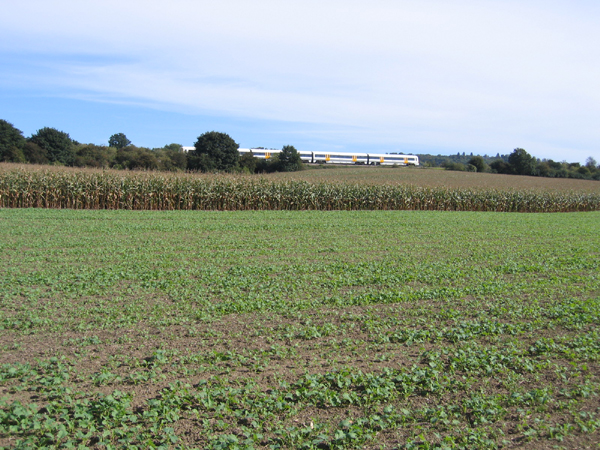
Image: © Rodney Burton Taken: 28 Sep 2005
View NE across rape and maize fields.
Images are licensed for reuse under creativecommons.org/licenses/by-sa/2.0
Image Location
Latitude
51.247703
Longitude
0.660815