South end of The Boyle, Barwick-in-Elmet
Introduction
The photograph on this page of South end of The Boyle, Barwick-in-Elmet by Stephen Craven as part of the Geograph project.
The Geograph project started in 2005 with the aim of publishing, organising and preserving representative images for every square kilometre of Great Britain, Ireland and the Isle of Man.

There are currently over 7.5m images from over 14,400 individuals and you can help contribute to the project by visiting https://www.geograph.org.uk
South end of The Boyle, Barwick-in-Elmet
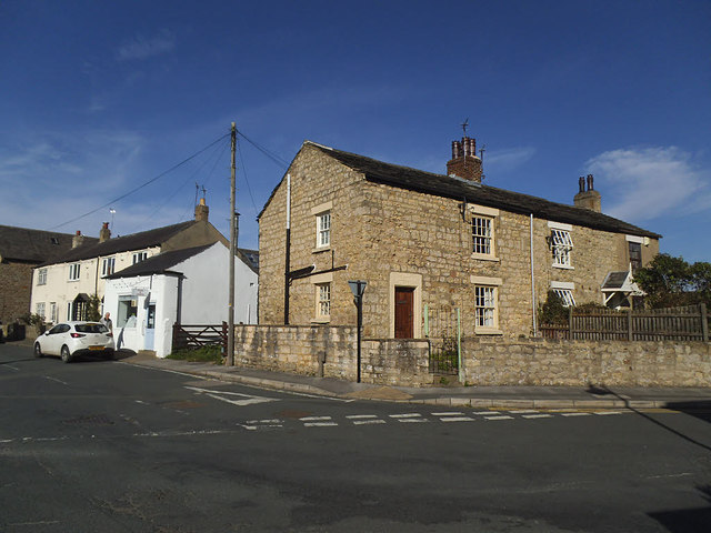
Image: © Stephen Craven Taken: 14 Sep 2019
The road (left) takes its name from the Norman bailey. The house on the corner bears a datestone 1679 and initials GMH, but surprisingly is not listed.
Images are licensed for reuse under creativecommons.org/licenses/by-sa/2.0
Image Location
Latitude
53.83196
Longitude
-1.394173