The Coronation, Kingston Road
Introduction
The photograph on this page of The Coronation, Kingston Road by Neil Owen as part of the Geograph project.
The Geograph project started in 2005 with the aim of publishing, organising and preserving representative images for every square kilometre of Great Britain, Ireland and the Isle of Man.

There are currently over 7.5m images from over 14,400 individuals and you can help contribute to the project by visiting https://www.geograph.org.uk
The Coronation, Kingston Road
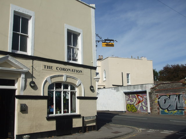
Image: © Neil Owen Taken: 14 Sep 2019
Kingston Road was built in the 1890s, adding to the existing streets of Bedminster and Southville. The pub was part of the community, and remains so today.
Images are licensed for reuse under creativecommons.org/licenses/by-sa/2.0
Image Location
Latitude
51.444281
Longitude
-2.600247