Path through the pylon
Introduction
The photograph on this page of Path through the pylon by Alan Murray-Rust as part of the Geograph project.
The Geograph project started in 2005 with the aim of publishing, organising and preserving representative images for every square kilometre of Great Britain, Ireland and the Isle of Man.

There are currently over 7.5m images from over 14,400 individuals and you can help contribute to the project by visiting https://www.geograph.org.uk
Path through the pylon
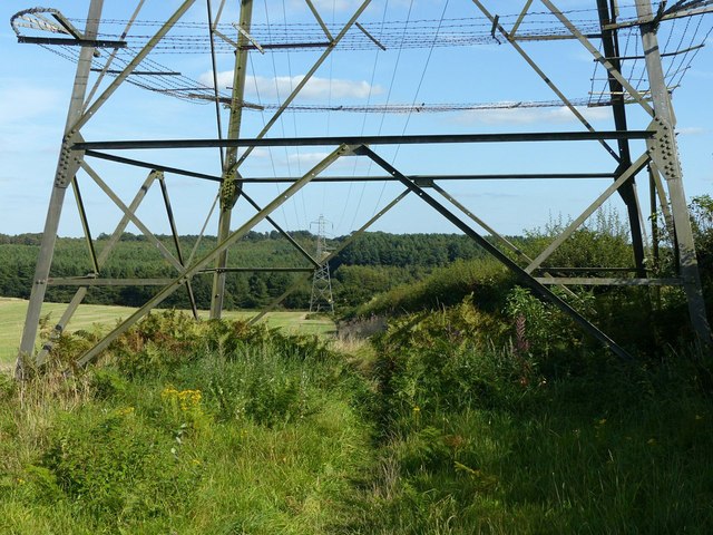
Image: © Alan Murray-Rust Taken: 13 Sep 2019
The section of the Robin Hood Way running cross-country from Blidworth Waye to Mansfield Road.
Images are licensed for reuse under creativecommons.org/licenses/by-sa/2.0
Image Location
Latitude
53.067512
Longitude
-1.175568