Raised footpath to Porth Meudwy
Introduction
The photograph on this page of Raised footpath to Porth Meudwy by Peter Shone as part of the Geograph project.
The Geograph project started in 2005 with the aim of publishing, organising and preserving representative images for every square kilometre of Great Britain, Ireland and the Isle of Man.

There are currently over 7.5m images from over 14,400 individuals and you can help contribute to the project by visiting https://www.geograph.org.uk
Raised footpath to Porth Meudwy
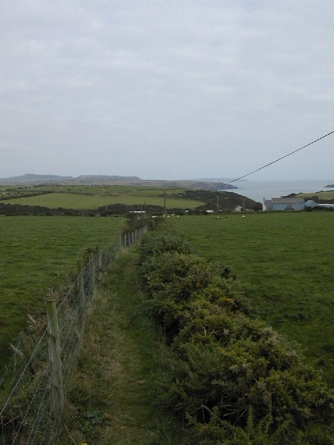
Image: © Peter Shone Taken: 4 Oct 2005
This footpath runs on top of the divide between two fields at SH 154 253. The path is several feet above the level of the fields, running SE.
Images are licensed for reuse under creativecommons.org/licenses/by-sa/2.0
Image Location


Leaflet Map data © OpenStreetMap
Latitude
52.793602
Longitude
-4.739295