Normanton Hill
Introduction
The photograph on this page of Normanton Hill by Bob Harvey as part of the Geograph project.
The Geograph project started in 2005 with the aim of publishing, organising and preserving representative images for every square kilometre of Great Britain, Ireland and the Isle of Man.

There are currently over 7.5m images from over 14,400 individuals and you can help contribute to the project by visiting https://www.geograph.org.uk
Normanton Hill
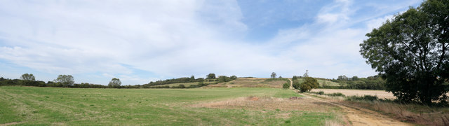
Image: © Bob Harvey Taken: 14 Sep 2019
The house is far more prominent when you leave the village, on top of what is known locally as the Cliff - the Lincolnshire Escarpment. But the road is rather dangerous and I wanted somewhere safe to stand, so the house appears shaded by the tree. The OS map labels a "sheep wash" on the hill, and the irregular ground on the scarp slope fascinates me - I hae no idea what it is. A rather closed look is shown in Image
Images are licensed for reuse under creativecommons.org/licenses/by-sa/2.0
Image Location
Latitude
53.002365
Longitude
-0.578493