Ruins of the Castle Mill
Introduction
The photograph on this page of Ruins of the Castle Mill by Andrew Curtis as part of the Geograph project.
The Geograph project started in 2005 with the aim of publishing, organising and preserving representative images for every square kilometre of Great Britain, Ireland and the Isle of Man.

There are currently over 7.5m images from over 14,400 individuals and you can help contribute to the project by visiting https://www.geograph.org.uk
Ruins of the Castle Mill
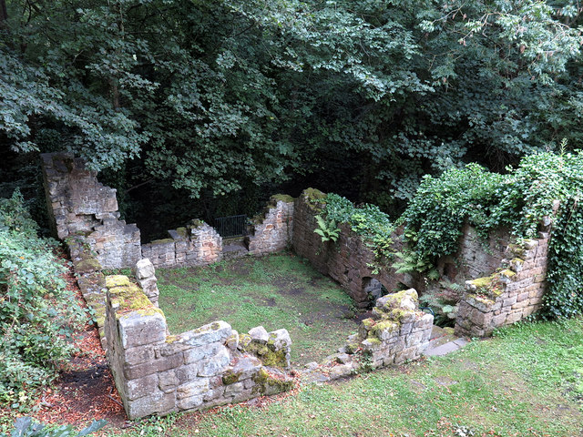
Image: © Andrew Curtis Taken: 13 Sep 2019
The ruins of the old corn mill are located below the castle gatehouse and the pond which provided its water power. The building has a date stone of 1752 although is certainly the latest mill of earlier ones on this site.
Images are licensed for reuse under creativecommons.org/licenses/by-sa/2.0
Image Location


Leaflet Map data © OpenStreetMap
Latitude
54.964785
Longitude
-1.857685