Vale of Glamorgan railway line between two road bridges, Barry
Introduction
The photograph on this page of Vale of Glamorgan railway line between two road bridges, Barry by Jaggery as part of the Geograph project.
The Geograph project started in 2005 with the aim of publishing, organising and preserving representative images for every square kilometre of Great Britain, Ireland and the Isle of Man.

There are currently over 7.5m images from over 14,400 individuals and you can help contribute to the project by visiting https://www.geograph.org.uk
Vale of Glamorgan railway line between two road bridges, Barry
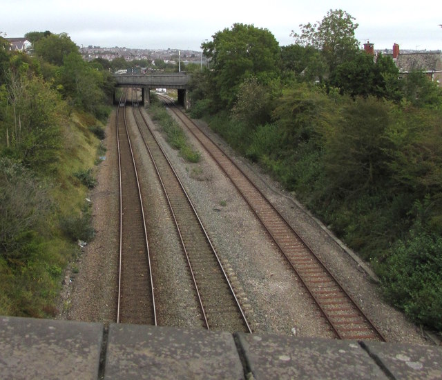
Image: © Jaggery Taken: 11 Sep 2019
Viewed from St Nicholas Road bridge looking towards Harbour Road bridge, northeast of which is Barry railway station.
Images are licensed for reuse under creativecommons.org/licenses/by-sa/2.0
Image Location
Latitude
51.395145
Longitude
-3.28652