Park Avenue houses, Barry
Introduction
The photograph on this page of Park Avenue houses, Barry by Jaggery as part of the Geograph project.
The Geograph project started in 2005 with the aim of publishing, organising and preserving representative images for every square kilometre of Great Britain, Ireland and the Isle of Man.

There are currently over 7.5m images from over 14,400 individuals and you can help contribute to the project by visiting https://www.geograph.org.uk
Park Avenue houses, Barry
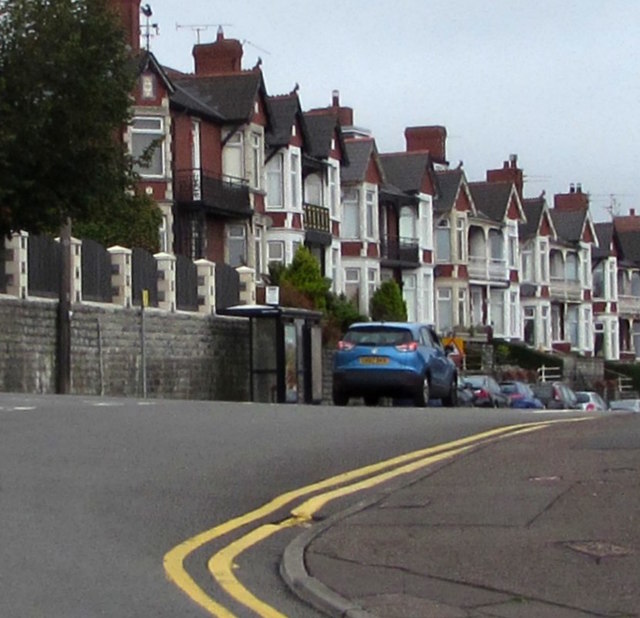
Image: © Jaggery Taken: 11 Sep 2019
Set about 2 metres above road level, the houses are opposite railings and bushes above railway lines in a cutting near Barry station.
Images are licensed for reuse under creativecommons.org/licenses/by-sa/2.0
Image Location


Leaflet Map data © OpenStreetMap
Latitude
51.395136
Longitude
-3.287382