Homebase - Nottingham
Introduction
The photograph on this page of Homebase - Nottingham by David Lally as part of the Geograph project.
The Geograph project started in 2005 with the aim of publishing, organising and preserving representative images for every square kilometre of Great Britain, Ireland and the Isle of Man.

There are currently over 7.5m images from over 14,400 individuals and you can help contribute to the project by visiting https://www.geograph.org.uk
Homebase - Nottingham
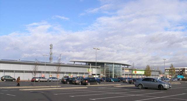
Image: © David Lally Taken: 3 Dec 2007
The only one of the new buildings around this, now called ng2, business park currently shown on the map. It's been open at least 4 years. As of date of submission the aerial view on map.live.com still shows a large factory on this site. This was the former Royal Ordnance factory a site dedicated to the history of which can be found here http://www.rofnottingham.co.uk/02_history_01.htm (link courtesy of Derek Harper, web searcher extraordinaire!) The business park takes its name from the postcode of the area, but is written in lowercase with a superscript 2 as in ng squared, what ever that's supposed to mean!.
Images are licensed for reuse under creativecommons.org/licenses/by-sa/2.0
Image Location
Latitude
52.942998
Longitude
-1.16112