Bridleway through Grindon Lane Wood
Introduction
The photograph on this page of Bridleway through Grindon Lane Wood by Trevor Littlewood as part of the Geograph project.
The Geograph project started in 2005 with the aim of publishing, organising and preserving representative images for every square kilometre of Great Britain, Ireland and the Isle of Man.

There are currently over 7.5m images from over 14,400 individuals and you can help contribute to the project by visiting https://www.geograph.org.uk
Bridleway through Grindon Lane Wood
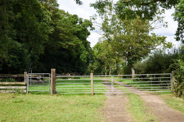
Image: © Trevor Littlewood Taken: 10 Sep 2019
The bridleway is named as Grindon Lane on OS maps. Note the small gate which has a handle for opening it projecting above; it's a regular feature on bridleways, the idea being that horse riders can operate the catch without needing to dismount.
Images are licensed for reuse under creativecommons.org/licenses/by-sa/2.0
Image Location


Leaflet Map data © OpenStreetMap
Latitude
54.599172
Longitude
-1.501719