Pastures by Chorley Hall Farm
Introduction
The photograph on this page of Pastures by Chorley Hall Farm by Jonathan Billinger as part of the Geograph project.
The Geograph project started in 2005 with the aim of publishing, organising and preserving representative images for every square kilometre of Great Britain, Ireland and the Isle of Man.

There are currently over 7.5m images from over 14,400 individuals and you can help contribute to the project by visiting https://www.geograph.org.uk
Pastures by Chorley Hall Farm
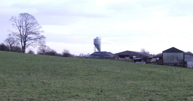
Image: © Jonathan Billinger Taken: 3 Dec 2007
A modern feed silo stands out near the gentle slope to 85m altitude. Photo taken at the 81m spot height on the 1:25000 map.
Images are licensed for reuse under creativecommons.org/licenses/by-sa/2.0
Image Location
Latitude
53.044179
Longitude
-2.625673