Field north of High Grindon
Introduction
The photograph on this page of Field north of High Grindon by Trevor Littlewood as part of the Geograph project.
The Geograph project started in 2005 with the aim of publishing, organising and preserving representative images for every square kilometre of Great Britain, Ireland and the Isle of Man.

There are currently over 7.5m images from over 14,400 individuals and you can help contribute to the project by visiting https://www.geograph.org.uk
Field north of High Grindon
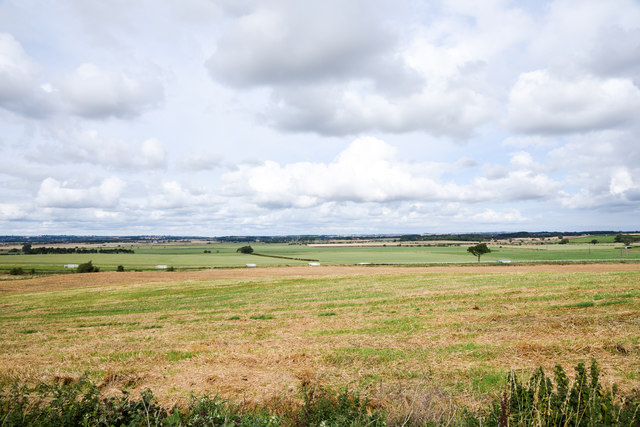
Image: © Trevor Littlewood Taken: 10 Sep 2019
High Grindon is a location where once there was a farmhouse and much earlier, a medieval village; both sites are out of view to the left of the image. The field has stubble with emerging green shoots which could be just grass or a recently sown crop.
Images are licensed for reuse under creativecommons.org/licenses/by-sa/2.0
Image Location


Leaflet Map data © OpenStreetMap
Latitude
54.612373
Longitude
-1.49939