Route of public footpath across field
Introduction
The photograph on this page of Route of public footpath across field by Trevor Littlewood as part of the Geograph project.
The Geograph project started in 2005 with the aim of publishing, organising and preserving representative images for every square kilometre of Great Britain, Ireland and the Isle of Man.

There are currently over 7.5m images from over 14,400 individuals and you can help contribute to the project by visiting https://www.geograph.org.uk
Route of public footpath across field
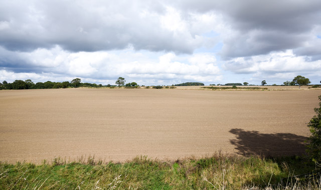
Image: © Trevor Littlewood Taken: 10 Sep 2019
The view is from above a bridge within an old railway embankment through which the right of way passes, though at the time the image was recorded a 'temporary' closure of the route was in place. (Permission had been given to access the location.)
Images are licensed for reuse under creativecommons.org/licenses/by-sa/2.0
Image Location
Latitude
54.612981
Longitude
-1.47306