Up Trinity Street, Barry
Introduction
The photograph on this page of Up Trinity Street, Barry by Jaggery as part of the Geograph project.
The Geograph project started in 2005 with the aim of publishing, organising and preserving representative images for every square kilometre of Great Britain, Ireland and the Isle of Man.

There are currently over 7.5m images from over 14,400 individuals and you can help contribute to the project by visiting https://www.geograph.org.uk
Up Trinity Street, Barry
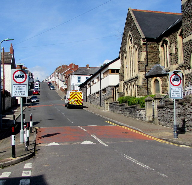
Image: © Jaggery Taken: 8 Sep 2019
This part of Trinity Street is between High Street (near the camera) and Queen Street. Holy Trinity Presbyterian Church https://www.geograph.org.uk/photo/1905053 is on the right. Vehicle weight restriction (except for access) signs in September 2019 have replaced No Entry signs shown in a July 2015 Google Street View.
Images are licensed for reuse under creativecommons.org/licenses/by-sa/2.0
Image Location
Latitude
51.401954
Longitude
-3.280673