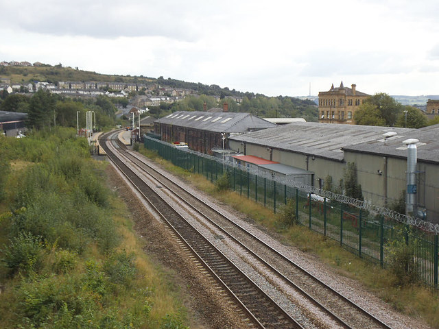
Towards Batley station
Introduction
The photograph on this page of Towards Batley station by Stephen Craven as part of the Geograph project.
The Geograph project started in 2005 with the aim of publishing, organising and preserving representative images for every square kilometre of Great Britain, Ireland and the Isle of Man.
There are currently over 7.5m images from over 14,400 individuals and you can help contribute to the project by visiting https://www.geograph.org.uk

Image: © Stephen Craven Taken: 8 Sep 2019
A view from Soothill Lane bridge. The 1933 1:2500 map shows a total of twelve tracks, including sidings, passing under Soothill Lane bridge, including three under this span serving a goods yard off to the left. Only two main line tracks now remain through the central span. The station, in the distance, now only has two platforms though it had several more at one time. The building with several skylight windows is probably an old railway goods shed.

