A path near the Levern Water
Introduction
The photograph on this page of A path near the Levern Water by Lairich Rig as part of the Geograph project.
The Geograph project started in 2005 with the aim of publishing, organising and preserving representative images for every square kilometre of Great Britain, Ireland and the Isle of Man.

There are currently over 7.5m images from over 14,400 individuals and you can help contribute to the project by visiting https://www.geograph.org.uk
A path near the Levern Water
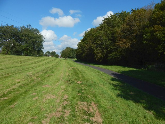
Image: © Lairich Rig Taken: 26 Aug 2019
On the right, a narrow strip of woodland separates the path from the Levern Water. Barrhead Road is on the left, but is unseen because it is at the top of the grassy slope.
Images are licensed for reuse under creativecommons.org/licenses/by-sa/2.0
Image Location
Latitude
55.819702
Longitude
-4.367294