Public bridleway has been dug up!
Introduction
The photograph on this page of Public bridleway has been dug up! by Russel Wills as part of the Geograph project.
The Geograph project started in 2005 with the aim of publishing, organising and preserving representative images for every square kilometre of Great Britain, Ireland and the Isle of Man.

There are currently over 7.5m images from over 14,400 individuals and you can help contribute to the project by visiting https://www.geograph.org.uk
Public bridleway has been dug up!
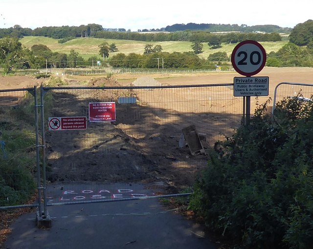
Image: © Russel Wills Taken: 7 Sep 2019
Our gentle stroll to the river bank along the public bridleway is disrupted. A sign says 'Public Bridleway will be closed for a period of 6 months. There is no alternative route available'.
Images are licensed for reuse under creativecommons.org/licenses/by-sa/2.0
Image Location


Leaflet Map data © OpenStreetMap
Latitude
55.408
Longitude
-1.682535