Combe Florey : The A358
Introduction
The photograph on this page of Combe Florey : The A358 by Lewis Clarke as part of the Geograph project.
The Geograph project started in 2005 with the aim of publishing, organising and preserving representative images for every square kilometre of Great Britain, Ireland and the Isle of Man.

There are currently over 7.5m images from over 14,400 individuals and you can help contribute to the project by visiting https://www.geograph.org.uk
Combe Florey : The A358
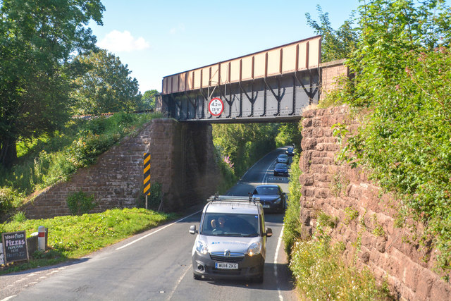
Image: © Lewis Clarke Taken: 12 Jul 2019
The road heads underneath the West Somerset Railway.
Images are licensed for reuse under creativecommons.org/licenses/by-sa/2.0
Image Location
Latitude
51.078071
Longitude
-3.21118