Kennels Road, Brightwell
Introduction
The photograph on this page of Kennels Road, Brightwell by Christopher Hilton as part of the Geograph project.
The Geograph project started in 2005 with the aim of publishing, organising and preserving representative images for every square kilometre of Great Britain, Ireland and the Isle of Man.

There are currently over 7.5m images from over 14,400 individuals and you can help contribute to the project by visiting https://www.geograph.org.uk
Kennels Road, Brightwell
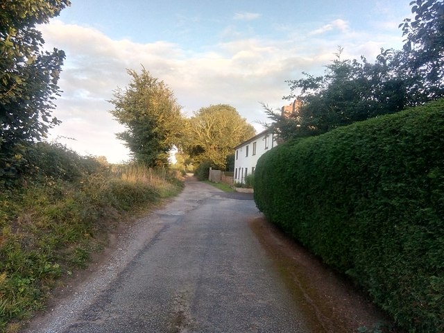
Image: © Christopher Hilton Taken: 6 Sep 2019
There is no through route for road vehicles from the A12 to Brightwell, but Kennels Road continues as a track and bridleway through to the village. The dwellings on the right are Lewis Cottages.
Images are licensed for reuse under creativecommons.org/licenses/by-sa/2.0
Image Location
Latitude
52.040936
Longitude
1.264511