High St, Saltford
Introduction
The photograph on this page of High St, Saltford by HelenK as part of the Geograph project.
The Geograph project started in 2005 with the aim of publishing, organising and preserving representative images for every square kilometre of Great Britain, Ireland and the Isle of Man.

There are currently over 7.5m images from over 14,400 individuals and you can help contribute to the project by visiting https://www.geograph.org.uk
High St, Saltford
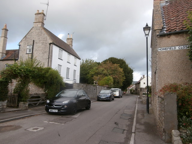
Image: © HelenK Taken: 6 Sep 2019
Saltford is one of those villages (near here, Chilcompton is another) which can seem to be just dull ribbon development on a main road, but which conceal an older heart, shown here, on a parallel road. Furthermore, the main railway line between Bath and Bristol passes through a short tunnel more or less underneath the photographer.
Images are licensed for reuse under creativecommons.org/licenses/by-sa/2.0
Image Location
Latitude
51.404566
Longitude
-2.454095