Fork in the road at Shop
Introduction
The photograph on this page of Fork in the road at Shop by David Smith as part of the Geograph project.
The Geograph project started in 2005 with the aim of publishing, organising and preserving representative images for every square kilometre of Great Britain, Ireland and the Isle of Man.

There are currently over 7.5m images from over 14,400 individuals and you can help contribute to the project by visiting https://www.geograph.org.uk
Fork in the road at Shop
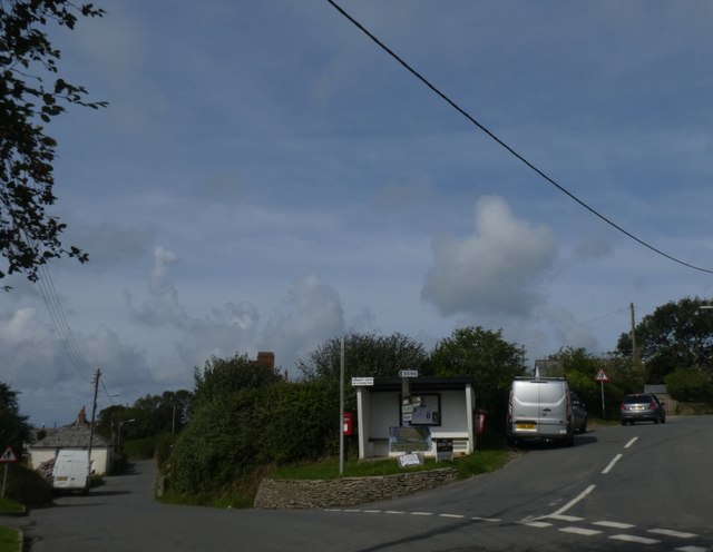
Image: © David Smith Taken: 21 Aug 2019
The fork is marked by several signs, a postbox and bus shelter (there are a handful of buses each weekday)
Images are licensed for reuse under creativecommons.org/licenses/by-sa/2.0
Image Location


Leaflet Map data © OpenStreetMap
Latitude
50.905682
Longitude
-4.521383