Kingennie Golf Course, 7th/16th Holes, The Burn
Introduction
The photograph on this page of Kingennie Golf Course, 7th/16th Holes, The Burn by Scott Cormie as part of the Geograph project.
The Geograph project started in 2005 with the aim of publishing, organising and preserving representative images for every square kilometre of Great Britain, Ireland and the Isle of Man.

There are currently over 7.5m images from over 14,400 individuals and you can help contribute to the project by visiting https://www.geograph.org.uk
Kingennie Golf Course, 7th/16th Holes, The Burn
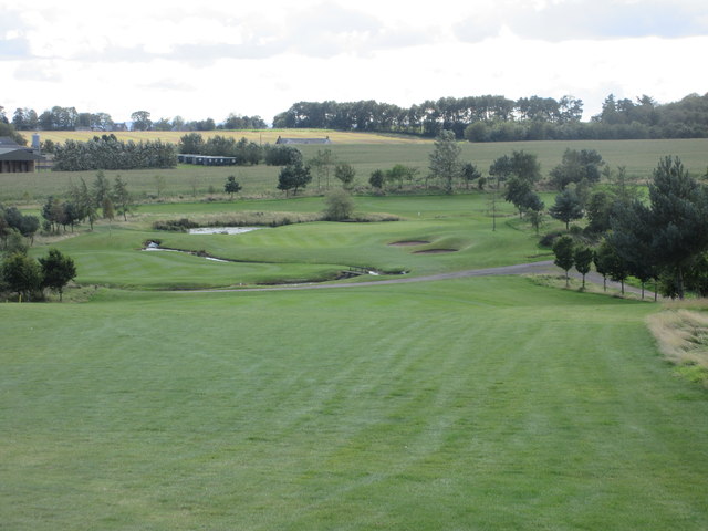
Image: © Scott Cormie Taken: 6 Sep 2019
The seventh hole at Kingennie, looking down the hill from the tee to the distant green beyond the snaking Buddon Burn.
Images are licensed for reuse under creativecommons.org/licenses/by-sa/2.0
Image Location
Latitude
56.514001
Longitude
-2.842216