Lon-yr-eglwys houses, St Brides Major
Introduction
The photograph on this page of Lon-yr-eglwys houses, St Brides Major by Jaggery as part of the Geograph project.
The Geograph project started in 2005 with the aim of publishing, organising and preserving representative images for every square kilometre of Great Britain, Ireland and the Isle of Man.

There are currently over 7.5m images from over 14,400 individuals and you can help contribute to the project by visiting https://www.geograph.org.uk
Lon-yr-eglwys houses, St Brides Major
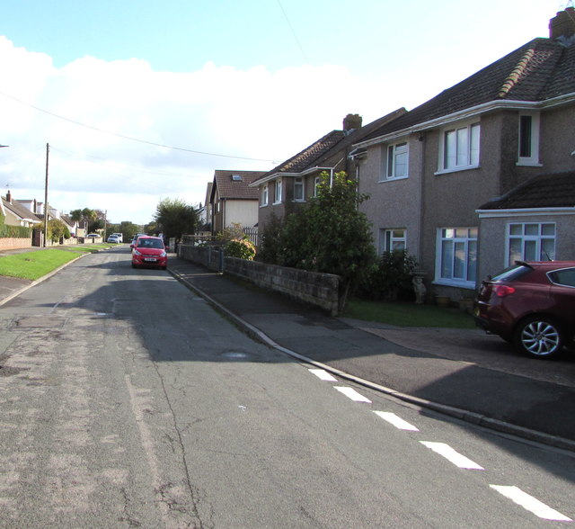
Image: © Jaggery Taken: 4 Sep 2019
The broken white lines are at the Heol Sant Bridget junction.
Images are licensed for reuse under creativecommons.org/licenses/by-sa/2.0
Image Location
Latitude
51.46158
Longitude
-3.595146