The 'new' coastal road (C1091) at the entrance to Rhuroin
Introduction
The photograph on this page of The 'new' coastal road (C1091) at the entrance to Rhuroin by Peter Wood as part of the Geograph project.
The Geograph project started in 2005 with the aim of publishing, organising and preserving representative images for every square kilometre of Great Britain, Ireland and the Isle of Man.

There are currently over 7.5m images from over 14,400 individuals and you can help contribute to the project by visiting https://www.geograph.org.uk
The 'new' coastal road (C1091) at the entrance to Rhuroin
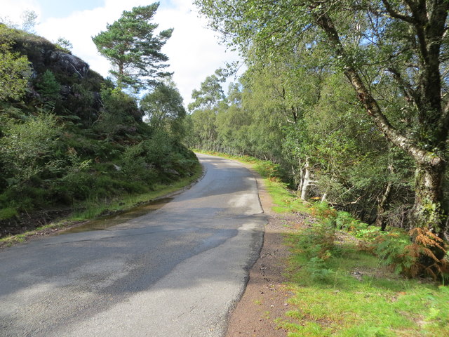
Image: © Peter Wood Taken: 1 Sep 2019
Looking north-westward. This road is part coastal route from Shieldaig to Applecross. Built in the 1970's and opened in 1975 as an alternative to the Bealach na Ba route which is often closed in winter.
Images are licensed for reuse under creativecommons.org/licenses/by-sa/2.0
Image Location


Leaflet Map data © OpenStreetMap
Latitude
57.524596
Longitude
-5.680611