Farmland west of Nuffield - with a distant view of Didcot 'A'
Introduction
The photograph on this page of Farmland west of Nuffield - with a distant view of Didcot 'A' by Stefan Czapski as part of the Geograph project.
The Geograph project started in 2005 with the aim of publishing, organising and preserving representative images for every square kilometre of Great Britain, Ireland and the Isle of Man.

There are currently over 7.5m images from over 14,400 individuals and you can help contribute to the project by visiting https://www.geograph.org.uk
Farmland west of Nuffield - with a distant view of Didcot 'A'
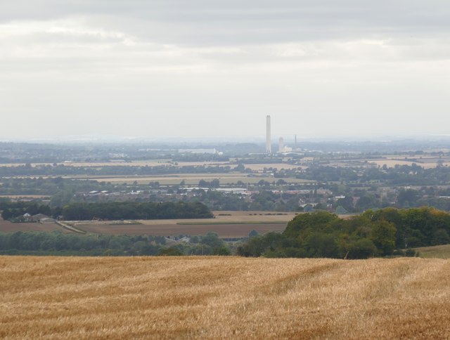
Image: © Stefan Czapski Taken: 3 Sep 2019
The view is roughly WNW from an elevation of about 212m. Three surviving cooling towers at Didcot power station had been demolished a few weeks earlier, leaving just the single tall chimney as a landmark - though not for long.
Images are licensed for reuse under creativecommons.org/licenses/by-sa/2.0
Image Location


Leaflet Map data © OpenStreetMap
Latitude
51.582655
Longitude
-1.045391