Towards the roundabouts
Introduction
The photograph on this page of Towards the roundabouts by Bill Nicholls as part of the Geograph project.
The Geograph project started in 2005 with the aim of publishing, organising and preserving representative images for every square kilometre of Great Britain, Ireland and the Isle of Man.

There are currently over 7.5m images from over 14,400 individuals and you can help contribute to the project by visiting https://www.geograph.org.uk
Towards the roundabouts
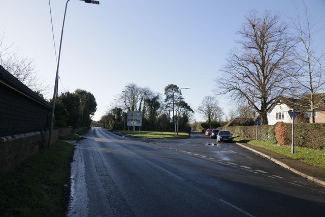
Image: © Bill Nicholls Taken: 17 Jan 2019
Looking at the old Wallingford road junction, both roads end at the Winterbrook roundabouts
Images are licensed for reuse under creativecommons.org/licenses/by-sa/2.0
Image Location
Latitude
51.589418
Longitude
-1.128827