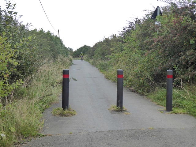
Brunton Lane
Introduction
The photograph on this page of Brunton Lane by Oliver Dixon as part of the Geograph project.
The Geograph project started in 2005 with the aim of publishing, organising and preserving representative images for every square kilometre of Great Britain, Ireland and the Isle of Man.
There are currently over 7.5m images from over 14,400 individuals and you can help contribute to the project by visiting https://www.geograph.org.uk

Image: © Oliver Dixon Taken: 2 Sep 2019
At one time, Brunton Lane provided a through road for motor vehicles from West Brunton Farm and points west right through to the Great North Road. However, recent development has led to the downgrading of the Lane to a cycle- and footpath from West Brunton Farm most of the way through the Great Park development. At its eastern end, Brunton Lane is a bus-only road bridging the A1 Newcastle Western By-pass. As a result of these changes, there is now no exit westwards for motor vehicles from any part of Great Park, whilst to the east all traffic (except buses) has to pass through the Great Parkway roundabout at the A1. On the bright side, Brunton Lane affords a perfect opportunity for cyclists to get out into the surrounding countryside in traffic-free conditions.

