Brunton Meadows
Introduction
The photograph on this page of Brunton Meadows by Oliver Dixon as part of the Geograph project.
The Geograph project started in 2005 with the aim of publishing, organising and preserving representative images for every square kilometre of Great Britain, Ireland and the Isle of Man.

There are currently over 7.5m images from over 14,400 individuals and you can help contribute to the project by visiting https://www.geograph.org.uk
Brunton Meadows
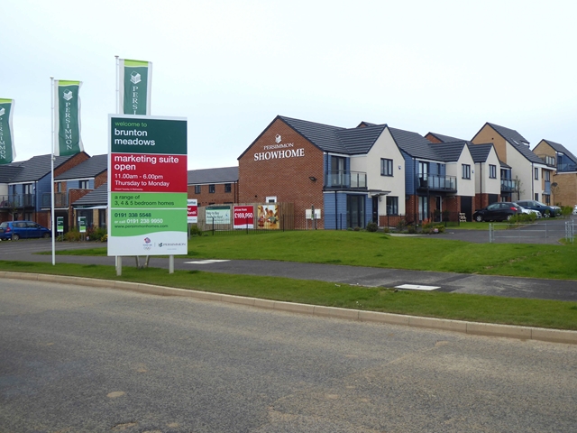
Image: © Oliver Dixon Taken: 2 Sep 2019
One of a number of simultaneous developments by various builders in the Great Park area. Developers love to create a spurious air of rustic tranquillity in the names they give to their estates.
Images are licensed for reuse under creativecommons.org/licenses/by-sa/2.0
Image Location
Latitude
55.027557
Longitude
-1.656607