Junctions on Whatley Lane
Introduction
The photograph on this page of Junctions on Whatley Lane by Derek Harper as part of the Geograph project.
The Geograph project started in 2005 with the aim of publishing, organising and preserving representative images for every square kilometre of Great Britain, Ireland and the Isle of Man.

There are currently over 7.5m images from over 14,400 individuals and you can help contribute to the project by visiting https://www.geograph.org.uk
Junctions on Whatley Lane
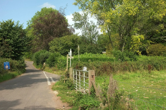
Image: © Derek Harper Taken: 27 Aug 2019
The more obvious junction is the right turn into Ammerham Lane. Less obvious is the fact that the Liberty Trail turns right here through the gate, along footpath 40UD116 CH 30/21.
Images are licensed for reuse under creativecommons.org/licenses/by-sa/2.0
Image Location
Latitude
50.844774
Longitude
-2.906987