The Struet
Introduction
The photograph on this page of The Struet by Alan Hughes as part of the Geograph project.
The Geograph project started in 2005 with the aim of publishing, organising and preserving representative images for every square kilometre of Great Britain, Ireland and the Isle of Man.

There are currently over 7.5m images from over 14,400 individuals and you can help contribute to the project by visiting https://www.geograph.org.uk
The Struet
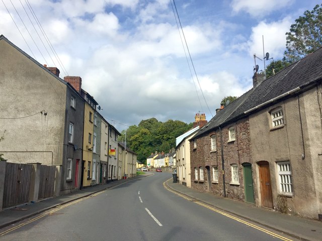
Image: © Alan Hughes Taken: 30 Aug 2019
One of the main roads leading into Brecon. It runs alongside the river Honddu to the north of the city and contains several Grade II listed buildings.
Images are licensed for reuse under creativecommons.org/licenses/by-sa/2.0
Image Location
Latitude
51.951006
Longitude
-3.389969