Former Steer Point Brickworks
Introduction
The photograph on this page of Former Steer Point Brickworks by Hugh Venables as part of the Geograph project.
The Geograph project started in 2005 with the aim of publishing, organising and preserving representative images for every square kilometre of Great Britain, Ireland and the Isle of Man.

There are currently over 7.5m images from over 14,400 individuals and you can help contribute to the project by visiting https://www.geograph.org.uk
Former Steer Point Brickworks
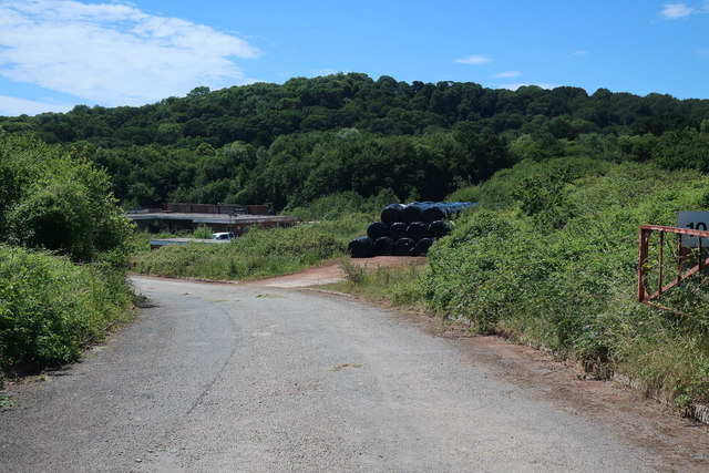
Image: © Hugh Venables Taken: 6 Jul 2019
See Image for a photo of the brickworks close to the time it closed. The buildings are now mostly gone. The quarry appears, from aerial images, not to have been infilled. Planning was granted in 2014 despite considerable local opposition.
Images are licensed for reuse under creativecommons.org/licenses/by-sa/2.0
Image Location


Leaflet Map data © OpenStreetMap
Latitude
50.334152
Longitude
-4.04636