Descent to Groes-faen
Introduction
The photograph on this page of Descent to Groes-faen by Graham Horn as part of the Geograph project.
The Geograph project started in 2005 with the aim of publishing, organising and preserving representative images for every square kilometre of Great Britain, Ireland and the Isle of Man.

There are currently over 7.5m images from over 14,400 individuals and you can help contribute to the project by visiting https://www.geograph.org.uk
Descent to Groes-faen
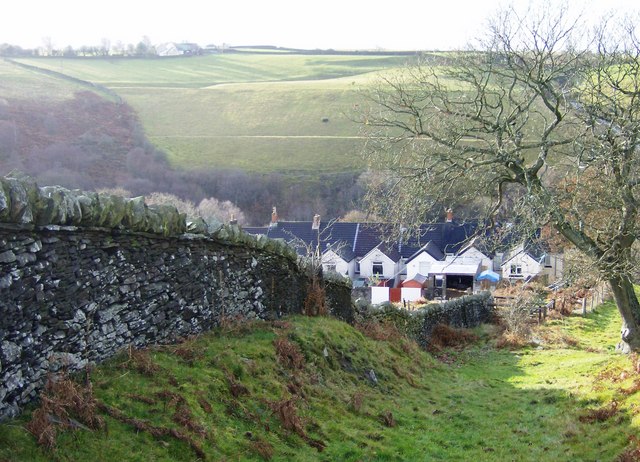
Image: © Graham Horn Taken: 1 Dec 2007
These few houses make up the hamlet of Groes-faen. The Rhymney Valley Reidgeway Footpath descends on this bridleway to cross the road and the valley to the right of the houses before climbing up the edge of the woodland beyond.
Images are licensed for reuse under creativecommons.org/licenses/by-sa/2.0
Image Location
Latitude
51.696968
Longitude
-3.248182