Woodland path in South Stanley
Introduction
The photograph on this page of Woodland path in South Stanley by Robert Graham as part of the Geograph project.
The Geograph project started in 2005 with the aim of publishing, organising and preserving representative images for every square kilometre of Great Britain, Ireland and the Isle of Man.

There are currently over 7.5m images from over 14,400 individuals and you can help contribute to the project by visiting https://www.geograph.org.uk
Woodland path in South Stanley
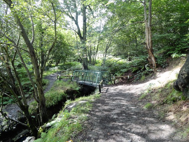
Image: © Robert Graham Taken: 12 Aug 2019
The path through South Stanley Wood crosses the Stanley Burn a couple of times on these little footbridges. The woodland forms a strip running along the burn on the southern edge of the large housing estate at South Stanley.
Images are licensed for reuse under creativecommons.org/licenses/by-sa/2.0
Image Location
Latitude
54.860144
Longitude
-1.690743