End of the 20mph speed limit, Hengoed Road, Cefn Hengoed
Introduction
The photograph on this page of End of the 20mph speed limit, Hengoed Road, Cefn Hengoed by Jaggery as part of the Geograph project.
The Geograph project started in 2005 with the aim of publishing, organising and preserving representative images for every square kilometre of Great Britain, Ireland and the Isle of Man.

There are currently over 7.5m images from over 14,400 individuals and you can help contribute to the project by visiting https://www.geograph.org.uk
End of the 20mph speed limit, Hengoed Road, Cefn Hengoed
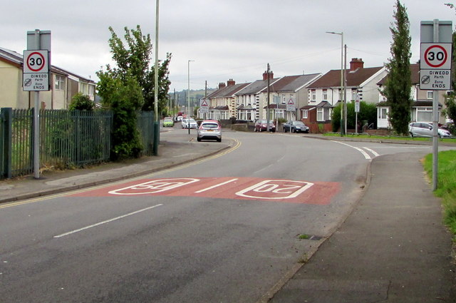
Image: © Jaggery Taken: 22 Aug 2019
The 20mph speed limit in force near the village school increases to 30mph. Hengoed Avenue is ahead on the left. The Gelligaer Road junction is on the right.
Images are licensed for reuse under creativecommons.org/licenses/by-sa/2.0
Image Location
Latitude
51.657895
Longitude
-3.235831