Derelict site on the east side of Hengoed Road, Cefn Hengoed
Introduction
The photograph on this page of Derelict site on the east side of Hengoed Road, Cefn Hengoed by Jaggery as part of the Geograph project.
The Geograph project started in 2005 with the aim of publishing, organising and preserving representative images for every square kilometre of Great Britain, Ireland and the Isle of Man.

There are currently over 7.5m images from over 14,400 individuals and you can help contribute to the project by visiting https://www.geograph.org.uk
Derelict site on the east side of Hengoed Road, Cefn Hengoed
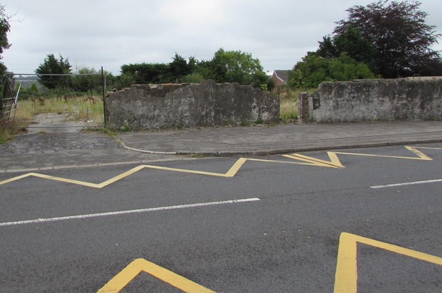
Image: © Jaggery Taken: 22 Aug 2019
Opposite the village school, viewed in August 2019. An August 2011 Google Street View shows similar dereliction here.
Images are licensed for reuse under creativecommons.org/licenses/by-sa/2.0
Image Location
Latitude
51.658701
Longitude
-3.236143