SLOW/ARAF on Heol Las north of Monknash
Introduction
The photograph on this page of SLOW/ARAF on Heol Las north of Monknash by Jaggery as part of the Geograph project.
The Geograph project started in 2005 with the aim of publishing, organising and preserving representative images for every square kilometre of Great Britain, Ireland and the Isle of Man.

There are currently over 7.5m images from over 14,400 individuals and you can help contribute to the project by visiting https://www.geograph.org.uk
SLOW/ARAF on Heol Las north of Monknash
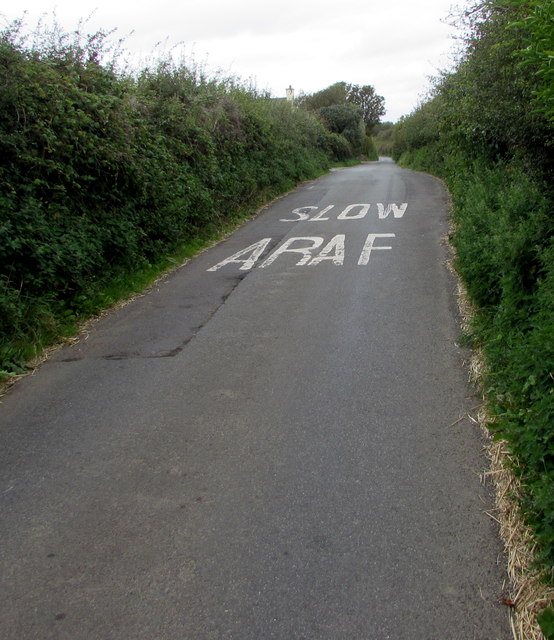
Image: © Jaggery Taken: 30 Aug 2019
English/Welsh instruction to drivers painted on the road surface in the Vale of Glamorgan.
Images are licensed for reuse under creativecommons.org/licenses/by-sa/2.0
Image Location
Latitude
51.431712
Longitude
-3.562744