Moy Road, Roath
Introduction
The photograph on this page of Moy Road, Roath by Natasha Ceridwen de Chroustchoff as part of the Geograph project.
The Geograph project started in 2005 with the aim of publishing, organising and preserving representative images for every square kilometre of Great Britain, Ireland and the Isle of Man.

There are currently over 7.5m images from over 14,400 individuals and you can help contribute to the project by visiting https://www.geograph.org.uk
Moy Road, Roath
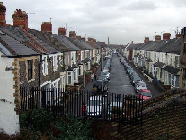
Image: © Natasha Ceridwen de Chroustchoff Taken: 29 Nov 2007
Looking east from the railway bridge in Crwys Road. The distant church spire is likely to be Roath Park Presbyterian Church (thanks to Adrian Platt for that info.)
Images are licensed for reuse under creativecommons.org/licenses/by-sa/2.0
Image Location
Latitude
51.494372
Longitude
-3.170758