Tracks near Netherton of Sessnie
Introduction
The photograph on this page of Tracks near Netherton of Sessnie by Mary and Angus Hogg as part of the Geograph project.
The Geograph project started in 2005 with the aim of publishing, organising and preserving representative images for every square kilometre of Great Britain, Ireland and the Isle of Man.

There are currently over 7.5m images from over 14,400 individuals and you can help contribute to the project by visiting https://www.geograph.org.uk
Tracks near Netherton of Sessnie
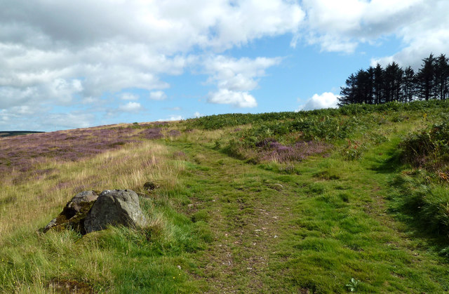
Image: © Mary and Angus Hogg Taken: 22 Aug 2019
The left-hand track is not shown on the OS maps. It leads up the Burn of Cessnie. The farm names here are spelled “Sessnie” while the Explorer Map uses the name “Cessnie” for the burn that flows through Bellmuir to the River Ythan.
Images are licensed for reuse under creativecommons.org/licenses/by-sa/2.0
Image Location
Latitude
57.423284
Longitude
-2.203287